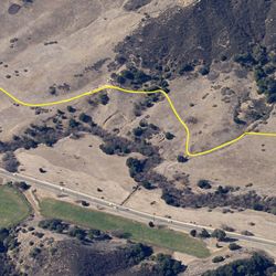
LENGTH
1.5 mi
ELEVATION GAIN
47 ft
DIFFICULTY
Easy
TAGS:
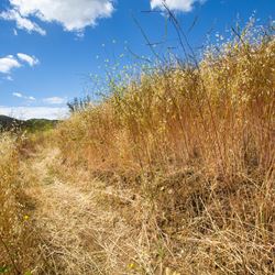
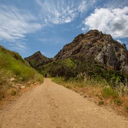
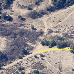
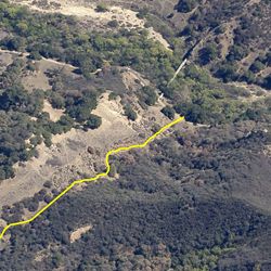
The trail has open, grassy fields along the western side and a wooded creek to the east. After approximately 0.3 miles from the trailhead at Mulholland Hwy, the trail skirts a utility power station. To continue on, go around the western side of the station along the paved trail. North Grassland is the primary connection to Liberty Canyon Fire Road, Las Virgenes Trail, and numerous other trails.
The trail can be accessed from the parking area near the intersection of Mulholland Hwy and Las Virgenes Rd.. There is limited street parking along Mulholland Highway.
TRAIL INFORMATION
ALLOWED USES:
- Hiking
- Mountain Biking
- Horseback Riding