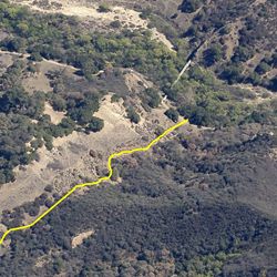
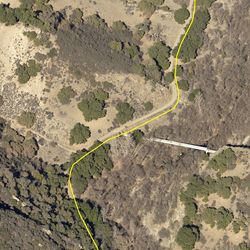
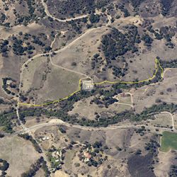
LENGTH
1.2 mi
ELEVATION GAIN
28 ft
DIFFICULTY
Easy
TAGS:
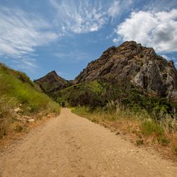
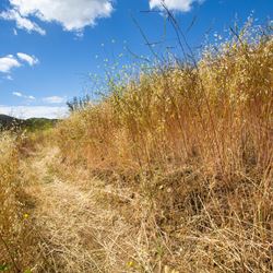
From the parking lot and Crags Road, there are two trails along Malibu Creek. Fork right to climb up High Road Trail for views of the creek bed below. Traveling through oak woodland, the trail arcs along the northern bank. Connect back to Crags Road at the western end to complete the loop or continue on along Crags Road out to the M*A*S*H site. Follow Rock Pool Trail to see the dramatic 400-ft volcanic rock cliffs and cascades in the lower section of Malibu Creek.
The trail can be accessed from the main parking lot at Malibu Creek State Park via Crags Road. From the 101, exit at Las Virgenes Road in Calabasas and head south for approximately 3.4 miles. The park entrance is just past Mulholland Highway on the right.
TRAIL INFORMATION
ALLOWED USES:
- Hiking
- Mountain Biking
- Horseback Riding