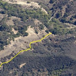
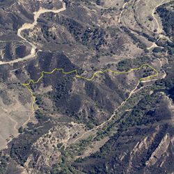
LENGTH
1.2 mi
ELEVATION GAIN
26 ft
DIFFICULTY
Easy
TAGS:
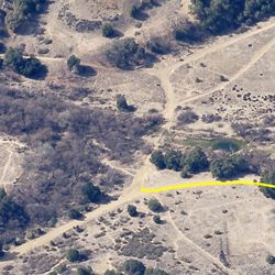
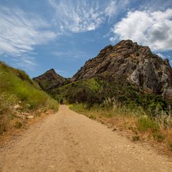
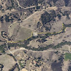
This trail is great for beginner mountain bikers and families with young children. It’s a short out and back route on a dirt road that runs through the mountains, along Malibu Creek. The trail follows a historic route from the early 1900’s through the canyon down to Malibu Creek past Historic Mott Adobe. At the end of the trail, there is an impassable gate where the park meets Salvation Army property.
The trail can be accessed from the main parking lot at Malibu Creek State Park via Crags Road. From the 101, exit at Las Virgenes Road in Calabasas and head south for approximately 3.4 miles. The park entrance is just past Mulholland Highway on the right.
TRAIL INFORMATION
ALLOWED USES:
- Hiking
- Mountain Biking
- Horseback Riding