LENGTH
3.3 mi
ELEVATION GAIN
112 ft
DIFFICULTY
Moderate
TAGS:
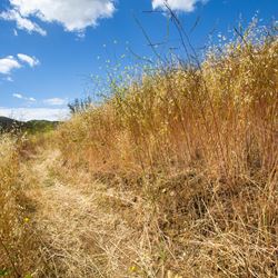
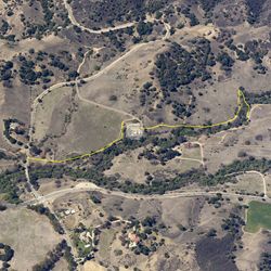
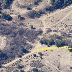
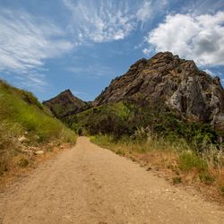
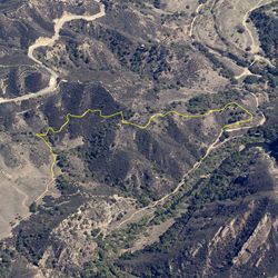
This is an easy trail that follows above Las Virgenes Road passing mostly through low-growing grasslands. The hike provides a moderate workout with views of the eastern Santa Monica Mountains and creates a nice loop when combined with Liberty Canyon up to Talepop Trail and around. The trail can be accessed from Juan Bautista De Anza County Park.
From the 101, exit at Lost Hills Rd in Calabasas. Head south on Lost Hills Road. The entrance to Juan Bautista De Anza County Park and staging areas will be on the right after approximately 1 mile.
TRAIL INFORMATION
ALLOWED USES:
- Hiking
- Mountain Biking
- Horseback Riding