LENGTH
4.9 mi
ELEVATION GAIN
314 ft
DIFFICULTY
Difficult
TAGS:
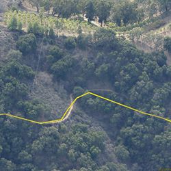
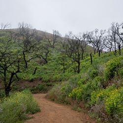
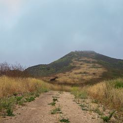
This segment of the Backbone Trail descends westerly into a deep canyon with a bridge over Zuma Creek. Views of the ocean flanked by chaparral-blanketed mountainsides are spectacular. The trail gradually climbs out of the canyon and meets Zuma Ridge Motorway.
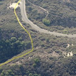
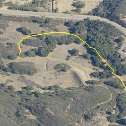
From the PCH, turn north on Kanan Dume Road. Travel 4.4 miles. Staging area is on left (west) just north of Tunnel 1. From the 101, exit Kanan Road. Head south approx. 8 miles to the Kanan Backbone Trail trailhead on your right (west).
TRAIL INFORMATION
ALLOWED USES:
- Hiking
- Mountain Biking
- Horseback Riding
- Dogs on Leash