9.7 mi
1110 ft
Difficult
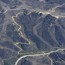
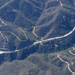
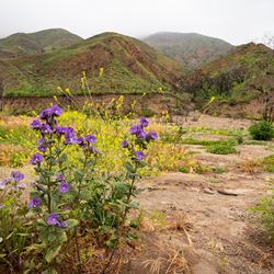
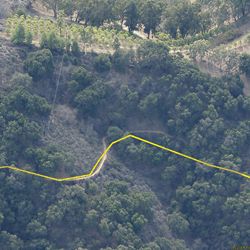
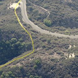
This lengthy, remote service road traverses Zuma Canyon from ridge to ridge, plunging to the canyon bottom creek crossing in between. Views of the Pacific Ocean and and rugged mountain terrain offer a great sense of immersion in the wild surroundings. If physical fitness and time allows, do a 12 to 15-mile loop outing by connecting with several surrounding trails in the Zuma/Trancas trail network, including Zuma Ridge Motorway, Zuma Canyon Connector Trail, and Kanan Edison Road.
From the east, travel 3.2 miles north on Kanan Dume Road to the Zuma Edison Road terminus on the left (west) side of the road. There is a large unpaved pullout for parking with no trailhead amenities. From the west, access from Zuma Ridge Motorway at 2.6 miles north of the motorway’s southern end.
ALLOWED USES:
- Hiking
- Mountain Biking
- Horseback Riding
- Dogs on Leash