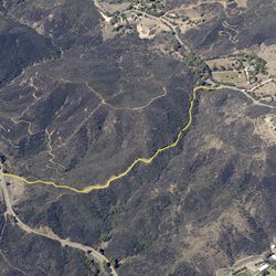
LENGTH
11.5 mi
ELEVATION GAIN
1984 ft
DIFFICULTY
Moderate
TAGS:
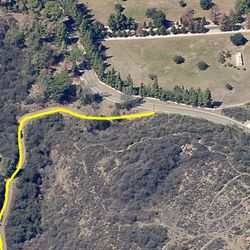
Zuma Ridge Motorway is part of the original fire road system constructed in the Santa Monica Mountains in the 1920s. The road traverses from the top of Busch Drive in Malibu to Encinal Canyon Road and meanders northerly along the ridge between Zuma and Trancas Canyons. Views become more expansive as the trail climbs, and you can just imagine how remote the area must have been when the road was first constructed.
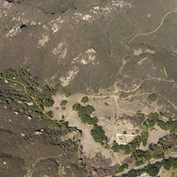
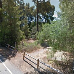
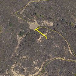
From PCH, turn inland at the light at Busch Drive, across from Zuma Beach. Travel to the top of Busch Drive to reach Zuma Ridge Trailhead (aka Busch Trailhead). Zuma Ridge Motorway heads north from the Trailhead. There no parking at the north end of the motorway at Encinal Canyon Rd.
TRAIL INFORMATION
ALLOWED USES:
- Hiking
- Mountain Biking
- Horseback Riding
- Dogs on Leash