LENGTH
4.8 mi
ELEVATION GAIN
737 ft
DIFFICULTY
Difficult
TAGS:
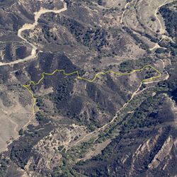
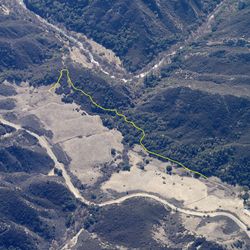
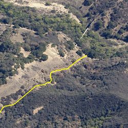
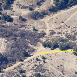
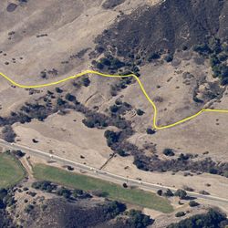
The northern part of Phantom Trail, near the intersection of Liberty Canyon Fire Road, is relatively flat for the first mile along the bottom of the canyon, passing near wetland areas and through dense chaparral. The trail climbs out of the canyon and opens up for some wide views of the area in all directions. From the ridge, the trail switches back down to Mulholland Hwy.
The northern end of Phantom Trail is accessed from the 101, take Liberty Canyon Rd. south 0.8 miles; there is limited street parking. The south end can be accessed off Mulholland Hwy, 1.5 miles west of intersection with Las Virgenes Rd.; there is parking on the road shoulder.
TRAIL INFORMATION
ALLOWED USES:
- Hiking
- Horseback Riding