2.0 mi
319 ft
Difficult
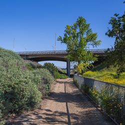
*** Please note: This trail is designated for pedestrian use only. Equestrian activity and bicycle use are prohibited. ***
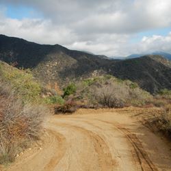
The One-mile Loop trail descends 300 feet into Devil’s Punchbowl Canyon to Punchbowl Creek. As you descend you will notice the huge sedimentary sandstone formation is tilted vertically from its once horizonal position. The Punchbowl Formation has been compressed and tilted by the collision of the Pacific Tectonic Plate with the North American Plate north and east of the San Andreas Fault. As the two plates collide the Pacific Plate is compressed and forced up along two faults. The Punchbowl Fault to the south is pushing up the 8,000-foot San Gabriel Mountains. The Pinyon Fault on the north is pushing up Pinyon Ridge. The Punchbowl sandstone has been warped into a “V” shaped syncline due to these great pressures. Notice the sandstone slabs on the south are tilted up with the San Gabriel Peaks while the slabs to the north have been tilted up with Pinyon ridge.
The canyon has been carved by the melting snow and rain waters rushing down the steep slopes and carving a deep gully. As you hike and climb over the sandstone, observe the layering of the sands and gravels that have been cemented by minerals carried by water and encrusted around the particles. As you hike back up out of the canyon stop and look back over this great example of forces that have made California a place of great variety.
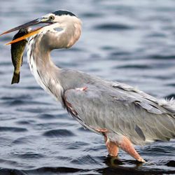
Remember: Earthquakes make mountains, mountains collect water and without water most plants and animals and people could not live here.
ALLOWED USES:
- Hiking
- Dogs on Leash
No Air Quality Data Found