7.5 mi
557 ft
Difficult
*** Please note:
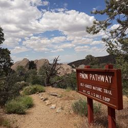
This trail is designated for pedestrian use only. Equestrian activity and bicycle use are prohibited.
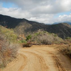
The Devil’s Chair Trail follows along the Punchbowl Fault that is thrusting up 8,000-foot Pleasant View Ridge and Pleasant View Wilderness of the San Gabriel Mountains. As you hike along the contour of the mountainside you will pass multiple outcroppings of green-grey rock which are the crush zone of the Punchbowl Fault. Because the Punchbowl Fault comes to the surface as two fracture lines the rock between these fractures has been pressurized, crushed and broken.
When you arrive at the fenced “Devil’s Chair”, you will walk out onto a peninsula of white crushed rock with a 250-foot drop-off. Look straight down from the chair and you will see a line which stretches up a ridge to your left. The pinkish Punchbowl sandstone curves up and ends at this line. The San Gabriel Mountains are being thrusted up behind you and the Punchbowl rocks are being dragged up with the mountains. As you look across the canyon below, you will see the Pinyon Fault, Pinyon Ridge and the San Andreas Fault. The notch in Pinyon Ridge is formed by Big Rock Creek. The Punchbowl Fault is one of the most studied faults in the world because it has so much surface exposure. Most faults are covered with sediment and can’t be seen.
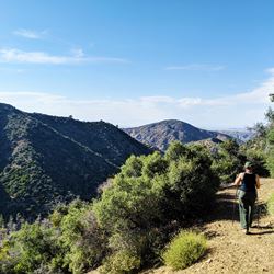
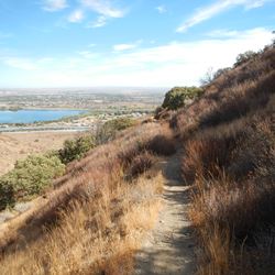
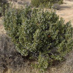
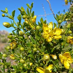
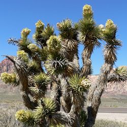
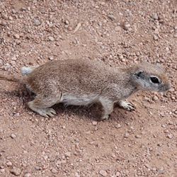
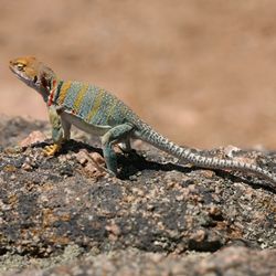
On your return hike observe the changing plant communities from large pines on the steep mountain slope to shorter rounded Pinyon Pines and more arid conditions as you get lower in elevation and change from the shaded mountains to the dryer exposed ridge.
P.S. – the Devil’s part of the name comes from the Serrano people who originally lived here. They thought of the mountain lion as an evil spirit due to its elusive and mysterious behavior. The Punchbowl part of the name came from the bowl-shaped canyon curved up by fault movement.
ALLOWED USES:
- Hiking