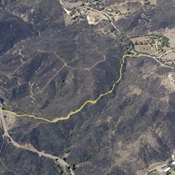
5.3 mi
616 ft
Moderate
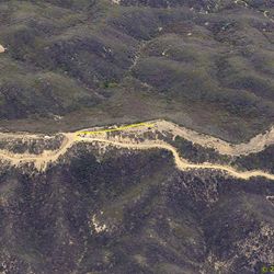
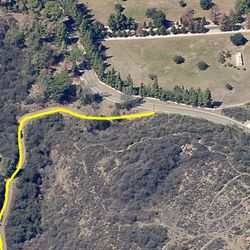
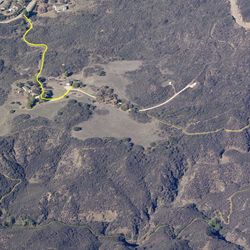
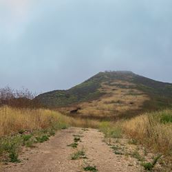
This segment of the Backbone Trail climbs steadily through a series of wide switchbacks from Mulholland Highway up to the Etz Meloy Motorway following the ridge. The segment passes though chaparral vegetation with terrific ocean views as the trail climbs higher. The entire segment is dirt, wide, and incredibly flat. To best enjoy this trail, continue west on Etz Meloy Motorway approx. 0.9 mi to the side trail for a great 360-degree overlook.
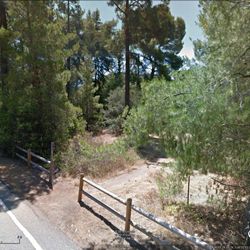
Parking on Mulholland is extremely limited (2-3 cars). Best to park at Encinal Cyn. Trailhead and hike up to Mulholland (1.3 mi.) and continue up to Etz Meloy (2.6 mi.). Travel to Kanan Dume Road from either PCH or the 101. Travel on Kanan north from PCH or south from the 101 to reach Mulholland Hwy. Go west on Mulholland. Stay left at fork to begin Encinal Canyon Rd. Travel 2.4 miles. Staging area will be on right (north side of Encinal).
ALLOWED USES:
- Hiking
- Mountain Biking
- Horseback Riding
- Dogs on Leash