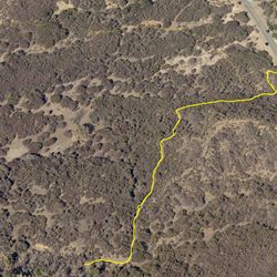
LENGTH
1.5 mi
ELEVATION GAIN
376 ft
DIFFICULTY
Difficult
TAGS:
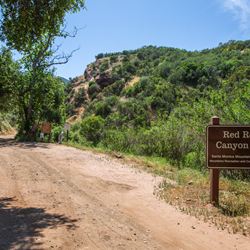
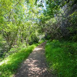
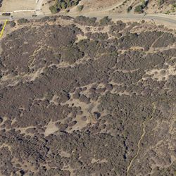
Red Rock Trail is a relatively isolated trail notable for spectacular natural rock formations that give the trail its name. The exposed trail winds up a ridge through chaparral, offering sweeping views of the geologic formation that bounds Red Rock Canyon. The trail crests at a saddle ridge before continuing to the north. Respect private property signs that should be present to mark the end of the public access trail.
Red Rock Trail can be accessed from Red Rock Road Trail. From the trailhead along the unpaved section of Red Rock Road, hike west to the intersection with Red Rock Trail.
TRAIL INFORMATION
ALLOWED USES:
- Hiking
- Horseback Riding
- Dogs on Leash