3.9 mi
555 ft
Moderate
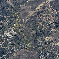
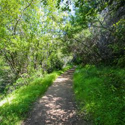
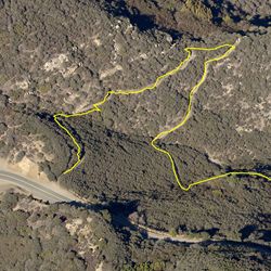
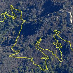
The Red Rock Road Trail features numerous sculptured sandstone formations which provide the trail with its name and interesting scenery. The first half of the trail winds around the arches and caves created by the rock formations. The trail then ascends to the ridgeline to the west where it intersects Calabasas Peak Motorway. A bench with a grand view west offers a great resting point.
Exit the 101 at Valley Circle Blvd and head south toward the mountains. Travel 0.6 mi. and turn right (south) onto Valmar Rd. Travel 1.1 mi. to Mulholland Hwy and turn right. Travel 0.2 mi. and turn left (south) onto Old Topanga Canyon Rd. Travel approx. 3.9 mi. up and over the ridgeline into the canyon and turn right onto Red Rock Rd. Travel through the neighborhood and continue on the unpaved road to the trailhead.
ALLOWED USES:
- Hiking
- Mountain Biking
- Horseback Riding
- Dogs on Leash