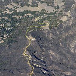
LENGTH
7.3 mi
ELEVATION GAIN
1571 ft
DIFFICULTY
Difficult
TAGS:
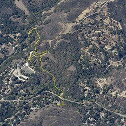
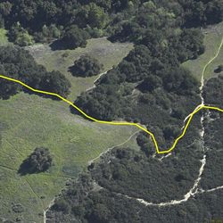
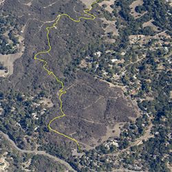
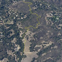
This section of the Backbone Trail climbs 1,550 feet over 3.67 miles, offering excellent views of Topanga and its surrounding. If a 7.6-mile hike sounds daunting, hikers have the option to make a one-way journey with a car shuttle. Be it a one-way, trail users will find the trail easy to follow. The trail switches through a dense forest made up of green grasses and California bays. Besides vegetation, hikers may also spot deer.
From the PCH, turn inland onto South Topanga Canyon Road. After 4.3 miles, turn left and head onto Old Topanga Canyon Road for about 0.5 mile. Safely park along either side of the road and locate the marked trailheads.
TRAIL INFORMATION
ALLOWED USES:
- Hiking
- Horseback Riding