LENGTH
2.5 mi
ELEVATION GAIN
433 ft
DIFFICULTY
Difficult
TAGS:
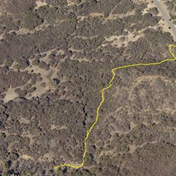
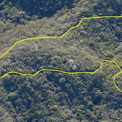
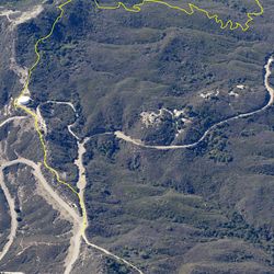
Stunt High Trail begins by descending through an oak grove along the banks of Cold Creek and then progresses uphill through green fields with open views of the surrounding Santa Monica Mountains. The trail narrows to a single track as it continues straight through the next junction. Stunt High Trail then progresses southward, crossing a paved service road and then up through a series of switchbacks where the trail eventually connects back with Stunt Rd.
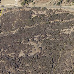
From Mulholland Highway, head 1 mi. east on Stunt Road. Parking is available at the trailhead on the right, for both this trail and Calabasas Peak Motorway.
TRAIL INFORMATION
ALLOWED USES:
- Hiking
- Horseback Riding
- Dogs on Leash