LENGTH
6.1 mi
ELEVATION GAIN
1595 ft
DIFFICULTY
Difficult
TAGS:
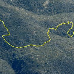
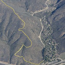
This out and back trail follows a gated fire road up the steep, exposed hillside, following Sequit Ridge. It’s a steady climb that provides panoramic views out over the Pacific Ocean to the four Channel Islands in the distance, as well as to Point Dume and the Palos Verdes Peninsula. From the top of the trail, there are also views over to the higher peaks of the Santa Monica Mountains.
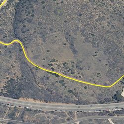
The trailhead can be accessed from the Leo Carrillo State Park staging area, located on the PCH, approximately 10 miles north of Malibu. Park in the lot on the inland side of the PCH and head northwest to the trailhead. Use caution crossing Mulholland Hwy.
TRAIL INFORMATION
ALLOWED USES:
- Hiking
- Mountain Biking
- Horseback Riding