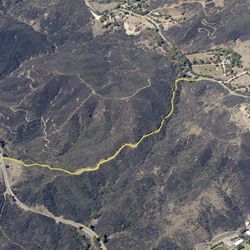
LENGTH
3.6 mi
ELEVATION GAIN
459 ft
DIFFICULTY
Moderate
TAGS:
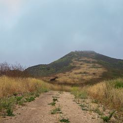
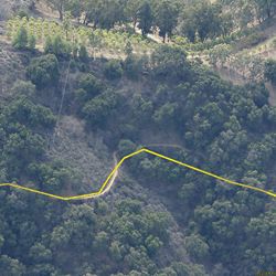
This trail is a long spur that runs south from the Backbone Trail System through a portion of Malibu Creek State Park and down toward Trancas Canyon. It’s a wide, exposed, dirt trail with views of the adjacent hillsides. The trail ends at a spectacular vista that looks out over Trancas Canyon to the Pacific Ocean and Channel Islands in the distance.
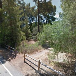
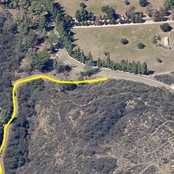
From PCH, travel 7 miles along Encinal Canyon Road to Trancas Canyon Road, which will be on the right. There is limited parking along the shoulder. Continue on foot, bike or horse 0.4 miles on the unpaved road to the trailhead at the intersection of the Backbone Trail System.
TRAIL INFORMATION
ALLOWED USES:
- Hiking
- Mountain Biking
- Horseback Riding