4.4 mi
918 ft
Moderate
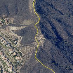
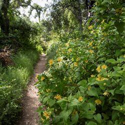
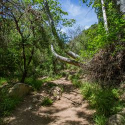
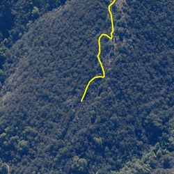
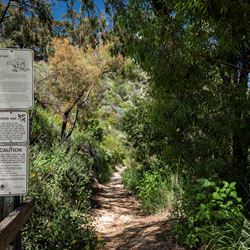
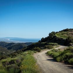
Situated in the Santa Monica Mountains, this trail is accessed via a neighborhood located in the Pacific Palisades district. The trail starts in the southern portion of Topanga State Park and gradually ascends towards the Temescal Ridge Trail. While there is little shade along the trail, trail users will enjoy panoramic views of the canyons and the ocean.
From the PCH, head north on Sunset Boulevard. Turn left onto Palisades Drive and continue for about 2.4 miles. Turn left onto Vereda De La Montura. Turn right onto Michael Lane and continue for 0.5 mile. Safely park in the permitted areas along Michael Lane. Trailhead is accessed via a paved portion of the Trailer Canyon Fire Road about 140 feet north (left side) of Michael Lane.
ALLOWED USES:
- Hiking
- Mountain Biking
- Horseback Riding