LENGTH
3.8 mi
ELEVATION GAIN
794 ft
DIFFICULTY
Difficult
TAGS:
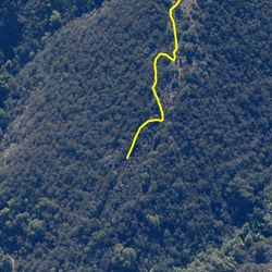
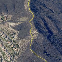
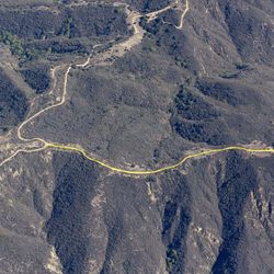
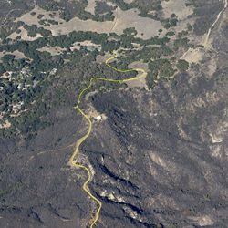
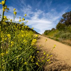
Santa Ynez Canyon Trail gently climbs along the creek to connect with Santa Ynez Waterfall Trail or continues northwest to the Trippet Ranch area. Live oaks and sycamores provide cover to hikers as they travel deeper into the canyon and sandstone formations and cliff gardens along the trail provide a unique hiking experience. Visit the trail in spring to see vibrant wildflowers in bloom.
From the PCH, head north (inland) on Sunset Boulevard for about 0.5 miles. Turn left on Palisades Drive. After about 2.5 miles, turn left onto Vereda De La Montura. Safely park in permitted areas along the street. Trailhead starts on the eastern side of the intersection of Camino De Yatasto and Vereda De La Montura.
TRAIL INFORMATION
ALLOWED USES:
- Hiking
LINKS:

 TRAIL MAP
 ELEVATION PROFILE

 NEARBY TRAILS
 FLORA & FAUNA


 ADD A REVIEW
Naomi
2 years ago
AA
6 years ago
