2.8 mi
29 ft
Easy
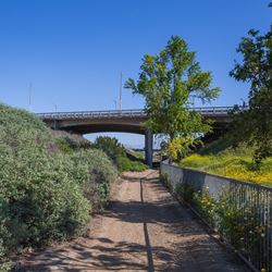
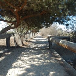
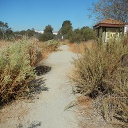
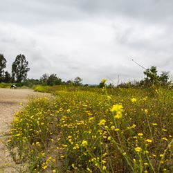
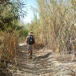
The Rio Hondo San Gabriel River Trail connector is a 1.46 mile long trail that connects the Rio Hondo River Trail to the San Gabriel River Trail. This trail travels through low lying areas adjacent to the Whittier Narrows Recreation Area and provides views of the San Gabriel Mountains to the north.
Exit the 605 at Rose Hills Road and head towards Beverly Boulevard. Continue onto San Gabriel River parkway. Turn right onto Woodford Street which becomes Cate Road/Greenglade Avenue. Turn right onto Durfee Avenue and continue into the parking area for Streamland Park. Use the access path from this park to reach the trail.
Alternatively, to access the northern trailhead in El Monte, follow Peck Road to the intersection with Rio Hondo Parkway. Peck Road Water Conservation Park is located on the east side of Peck Road. The trail starts just south of the main parking lot for the park.
ALLOWED USES:
- Hiking
- Mountain Biking
- Horseback Riding
- Dogs on Leash