LENGTH

15.6 mi

ELEVATION GAIN

221 ft

DIFFICULTY

Easy

TAGS:

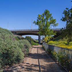
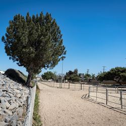
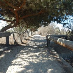
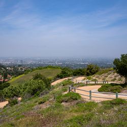
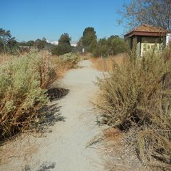
This multi-use trail runs parallel to Rio Hondo through the San Gabriel Valley. The northern end starts along the reservoir at the Peck Road Water Conservation Park and follows along the channel to Whittier Narrows Recreation Area. Connect to the San Gabriel River Trail here or continue on south to the trail along the lower portion of the Los Angles River. The Rio Hondo River Trail is a popular bicycle route and it is important to be mindful of all trail users.

To access the northern trailhead in El Monte, follow Peck Road to the intersection with Rio Hondo Parkway. Peck Road Water Conservation Park is located on the east side of Peck Road. The trail starts just south of the main parking lot for the park.

Get Directions to Trailhead

TRAIL INFORMATION
ALLOWED USES:
  • Hiking
  • Mountain Biking
  • Horseback Riding
  • Dogs on Leash
CONTACT INFO:
County of Los Angeles
626-588-5364

trails@parks.lacounty.gov

Report Bike Path Problems

LOCAL WEATHER:
Cloudy
72° / 51°

Moderate

TRAIL MAP
ELEVATION PROFILE

TAKE THE TRAIL WITH YOU

Get offline access to the most up-to-date information, including maps, photos, directions, and official trail guides.

NEARBY TRAILS
FLORA & FAUNA
ADD A REVIEW
Scott a month ago

Where can I start riding my bike on the bike trail path from start to end?

Response

Thank you for contacting us. 

The bike path is operated and maintained by the Department of Public Works.  They have a comprehensive online map of all the bike paths and bike trails at:  https://pw.lacounty.gov/tpp/bike/map.cfm 

For the Rio Hondo bike trail, you can access the beginning at Peck Road Conservation Park in Arcadia and follow it to the confluence of the LA River in the City of South Gate where it becomes the LA River trail.


Logan 7 months ago

Is running allowable on these trails ?

Response

Yes running is allowed on the trail.

Buddy a year ago

Rio Honda bike trail starting at rush st and traveling toward the over pass bridge on garvey st is both sides of the river on the pavement right beside the water way is that public access.? Dose the county control bothsides of the river bed payment where the bikes are who control this.?

Response

Thank you for contacting us.The Department of Parks and Recreation operate and maintain the County’s multi-use trails which are typically unpaved hiking, mountain biking and equestrian trails.  LA County Department of Public Works maintain and operate the County’s paved bikeways.  At Rush Street, the bike path is on the east side of the Rio Hondo River and the multi use-trail is on the west side adjacent to the Whittier Narrows Golf Course at Rush and along the utility road at Garvey.

For any bike path related issues or questions, please use the Bike Path Problem portal:  https://pw.lacounty.gov/general/faq/index.cfm?action=NewQuestion&AppSubject=Report%20a%20Problem%3A%20Bike%20Path&Category=Other&ReqDivision=BP&crossStreet=1

Should be closed 3 years ago

Hi I live near the Rio Hondo Bike Path and there is still alot of people crossing back and forth maskless. Will this trail be closed off soon?

Response

Thank you for contacting us.  The RIo Hondo River  Bikepath is operated by LA County Department of Public Works. Currently there are no foreseeable closures to the Bikepath however you can contact DPW at:  https://pw.lacounty.gov/general/faq/index.cfm?action=NewQuestion&AppSubject=Report%20a%20Problem%3A%20Bike%20Path&Category=Other&ReqDivision=BP&crossStreet=1 ,