LENGTH
0.5 mi
ELEVATION GAIN
128 ft
DIFFICULTY
Difficult
TAGS:
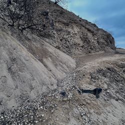
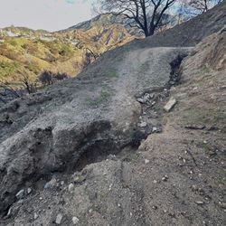
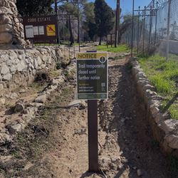
CHANEY TRAIL IS CLOSED TO PROTECT PUBLIC SAFETY AND SUPPORT THE ECOSYSTEM’S RECOVERY FROM THE 2025 EATON FIRE.
For closure alert please visit: Closure Alert
For more information & FAQ's please visit: Eaton Fire Trail Closure & FAQ's
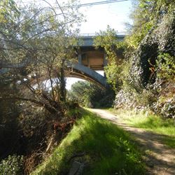
Located in the northern part of unincorporated Altadena, the 1.74 mile Chaney Trail connects to the Altadena Crest Trail. While it starts out relatively flat, most of the trail is located on steep, exposed chaparral slopes.
TRAIL INFORMATION
ALLOWED USES:
- Hiking
- Mountain Biking
- Horseback Riding
- Dogs on Leash
LINKS:

 TRAIL MAP
 ELEVATION PROFILE

 NEARBY TRAILS

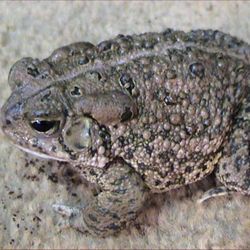
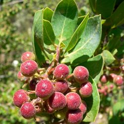
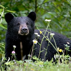
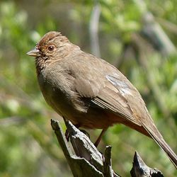
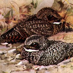
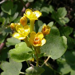
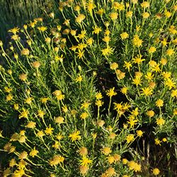
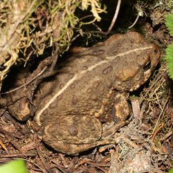
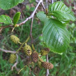
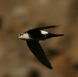
 FLORA & FAUNA


 ADD A REVIEW
Dalia
10 months ago
