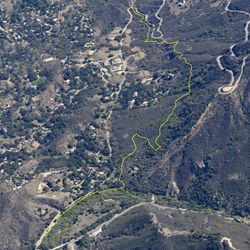
LENGTH
10.6 mi
ELEVATION GAIN
1684 ft
DIFFICULTY
Difficult
TAGS:
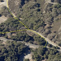
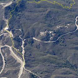
This trail follows a fire road road with staging areas at either end, one off of Malibu Canyon Road and the other off of Castro Peak Motorway. The wide, dirt trail travels along the ridge above Malibu Canyon, offering spectacular views of the surrounding landscape and spectacular views of the Channel Islands on clear days. While the eastern end of the trail has more chaparral, the western end includes great rock outcroppings.
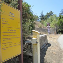
Mesa Peak Motorway can be accessed via Tapia Spur Trail or Dorothy Drive from the main parking area at Tapia County Park, located approximately 3 miles south of Malibu Creek State Park on the west side of Las Virgenes Rd. Follow the trail from the south side of the parking lot.
TRAIL INFORMATION
ALLOWED USES:
- Hiking
- Mountain Biking
- Horseback Riding