LENGTH
29.7 mi
ELEVATION GAIN
1129 ft
DIFFICULTY
Moderate
TAGS:
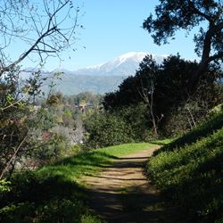
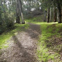
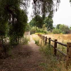
Schabarum-Skyline Trail is a long connector trail through open spaces and flood control channels connecting communities from Covina to Whittier. The trail allows recreational users and commuters to connect to a variety of other trails in the area, such as those in the Peter F. Schabarum Regional Park and Puente Hills Nature Preserve, as well as the San Gabriel and Rio Hondo River Trails.
From the 10 exist at Grand Avenue and head north for 0.5 miles, turn right on East Covina Hills Road, turn right on Oak Canyon Road in 0.2 miles, then make your first left onto East Ranch Creek Road. Take the first right onto Oak Canyon Road and continue for 250 feet to the trailhead.
TRAIL INFORMATION
ALLOWED USES:
- Hiking
- Mountain Biking
- Horseback Riding
- Dogs on Leash
LINKS:

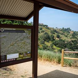
 TRAIL MAP
 ELEVATION PROFILE

 NEARBY TRAILS

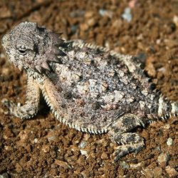
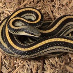
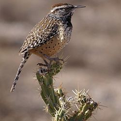
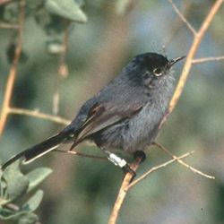
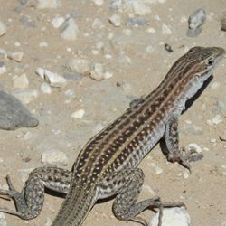
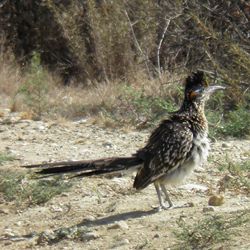
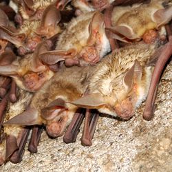
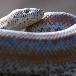
 FLORA & FAUNA


 ADD A REVIEW
Scott
7 years ago
