5.1 mi
648 ft
Moderate
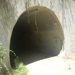
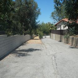
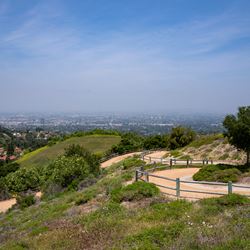
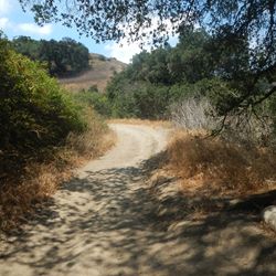
The Rowland Heights Loop Trail is made up of two segments. The eastern segments climbs up through a residential neighborhood and along the eastern edge of Pathfinder Community Regional Park to a lookout point with access to other park trails. The western segments runs along the sidewalk parallel to Pathfinder Road, connecting to Schabarum Extension Trail.
The trailhead, which provides access to both segments of the trail via Rowland Heights Loop Trail-Desire Avenue Connector, is located near the intersection of Pathfinder Rd and Wellesly Dr. From the 60, exit at Nogales St in Rowland Heights and head south. After 1.2 miles, turn right on Pathfinder Rd. Street parking is available near the trailhead located 0.2 miles after the turn.
ALLOWED USES:
- Hiking
- Mountain Biking
- Horseback Riding
- Dogs on Leash