LENGTH

1.3 mi

ELEVATION GAIN

302 ft

DIFFICULTY

Moderate

TAGS:

TRAIL INFORMATION
ALLOWED USES:
  • Hiking
  • Mountain Biking
  • Horseback Riding
  • Dogs on Leash
CONTACT INFO:
County of Los Angeles
626-588-5364

trails@parks.lacounty.gov

No Weather Data Found

No Air Quality Data Found

TRAIL MAP
ELEVATION PROFILE

TAKE THE TRAIL WITH YOU

Get offline access to the most up-to-date information, including maps, photos, directions, and official trail guides.

NEARBY TRAILS
FLORA & FAUNA
ADD A REVIEW
Liz 2 months ago

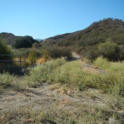
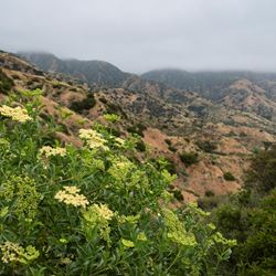
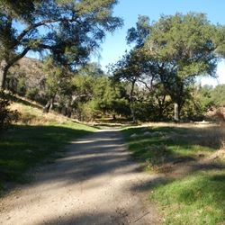
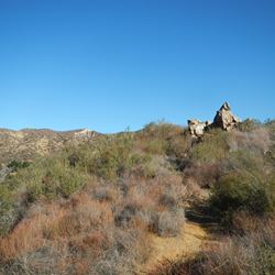
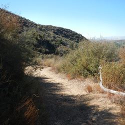
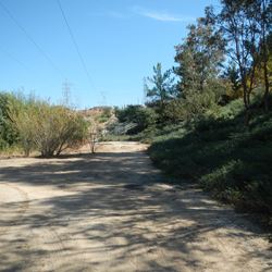
I've known this as the Plum Canyon Fire Road until now. Not sure where the mesa is (maybe that's the mystery 😎) but it's a great mile and a half up hill run to the top and all downhill back. Plum canyon park has restrooms, though not near the trail head but on the other side of the baseball field. The trail actually connects through to Sierra highway near the intersection of sand canyon (via a neighborhood road) if you want a longer and steeper hike/ run. No shade so i recommend mornings and evenings during the hotter months. Gorgeous wildflowers in the spring. Currently looks like a dry flower arrangement... and while I appreciate the maintenance done to fill in water erosion on the trail, it's really hard to run on soft sand... There's evidence of horse, dog, and bird traffic on the trail, along with bikes and electric bikes and other off road vehicles... my 6 and 7am runs always include coyote sightings.