LENGTH
2.0 mi
ELEVATION GAIN
249 ft
DIFFICULTY
Difficult
TAGS:
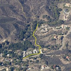
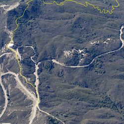
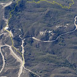
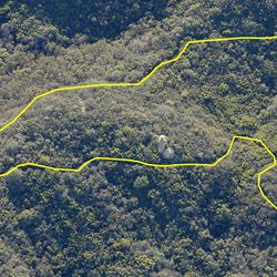
From Cold Canyon Road, the trail parallels the road to the south and then heads west up a low ridge, just north of the Monte Nido neighborhood. The first part of the trail follows a narrow route through riparian forest, then breaks into chaparral when heading back up the ridge. The trail ends at a private property boundary.
From the 101, head south on Las Virgenes Road and travel 3 mi. to Mulholland Highway. Go left (east) on Mulholland, travel 3.1 mi. to Cold Canyon Road. Turn left, travel 0.6 mi. to trail entrance point on right (west) side of road.
TRAIL INFORMATION
ALLOWED USES:
- Hiking
- Horseback Riding
- Dogs on Leash